But Salento and its surroundings offers much more than this, and also other visitors enjoy the pathways and landscapes of the area, and even use the Cocora Valley as starting point to climb the Nevado del Ruiz (5311 m), a long climb even considering that Salento is about 2000 m high.

I'm going to talk here about Santa Rita waterfall, placed in a lateral valley on the right hand side of the Quindio river, which is the river that forms the Cocora valley. From the small place of Boquia a pleasant walk allows to reach the waterfall.
The road from Pereira descends to cross the river Quindio by a metallic bridge, and just before crossing the river, in the site of Boquía, a small road starts on the left. At this point some restaurants and a camp site (Monteroca) solve the logistic-gastronomic questions.

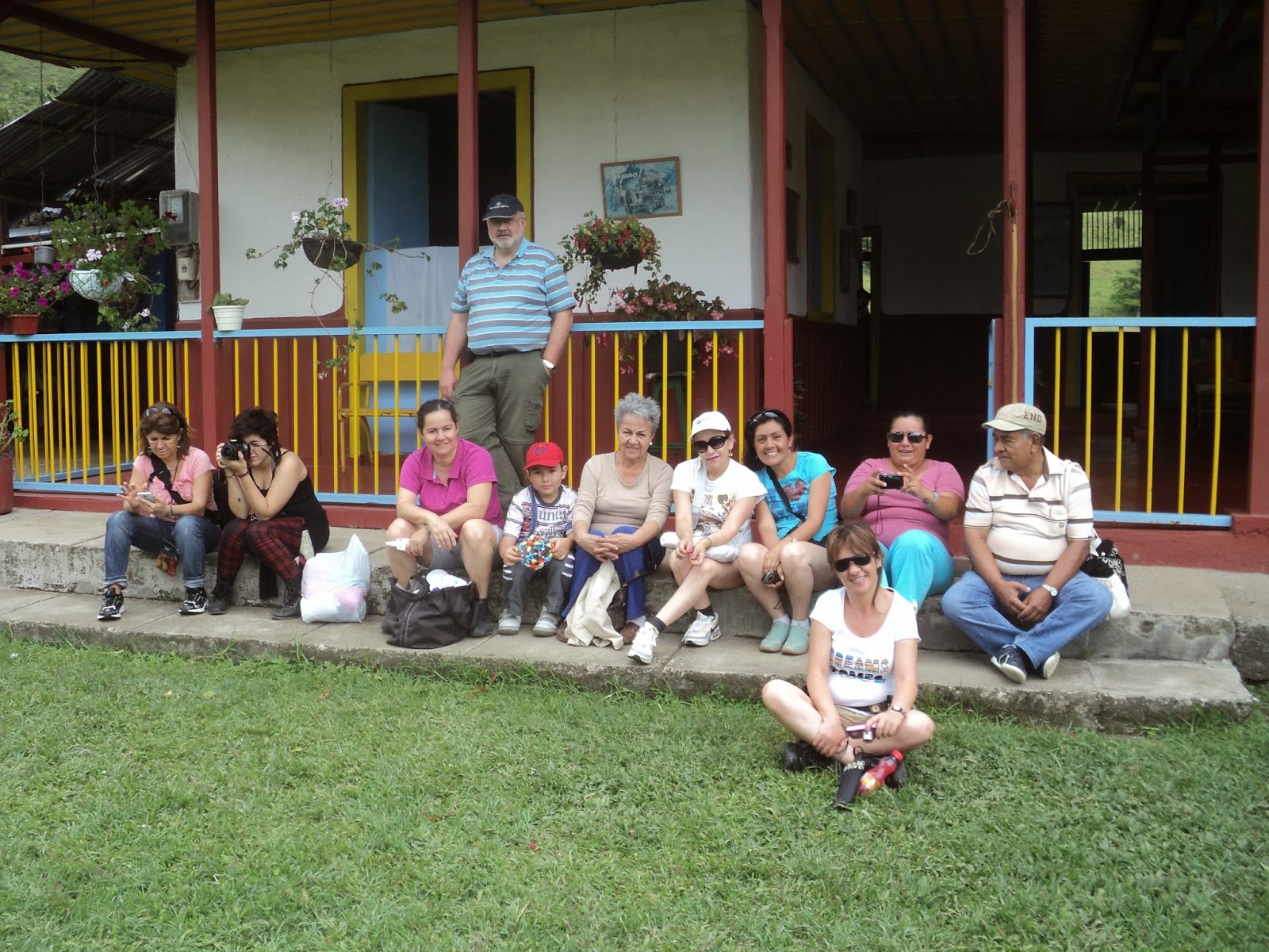
Following the road we must follow indications to the waterfall (signs marked "Cascada"), while we go up following the right bank of the Quindio river. We cross some characteristics coffee fields before entering the Hacienda Santa Rita. We have to enter in the Hacienda and go to the house, in a typical style of the coffee region

There we have to pay a small fee, as the waterfall is in a private property, of two thousand colombian pesos (about one US dollar), and we have an opportunity of enjoying a natural home made coffee, made with "aguapanela", a natural sweetener derived form the sugar cane but different from sugar.
Just close to the house, the pathway continues, entering in a lateral valley and climbing slowly to reach and follow an old (and disappeared) railway. The way is by sections almost covered by the forest, but basically we only have to walk by the ancient railway. In fact the way is erased to such point that I have serious doubts that it has ever worked.
Landscape is changing, fields leave place to tropical forest, and we reach he entrance of a tunnel. The exit of the tunnel seems more a natural cave than a human work, as it is masked by the vegetation and landslides. Mud covers almost all the tunnel, but we can pass by the left side, close to the wall.

Few hundred meters ahead, we have to leave the railway to descend to the river, and to cross to the other side by a basic wooden bridge (two simple trees...). From here change is total: the pathway seem to be eaten by the vegetation, and we enter in the real tropical humid forest.

The noise of the waterfall is more and more evident, and in the moment we start viewing it, we have two options in the pathway: going straight ahead, we have a frontal view of the waterfall, but there in no follow up possibilities. The other option crosses the river by a elemental hanging bridge and allow us to reach the basis of the waterfall.

The waterfall is about 15 meters high, and the amount of water makes a scenic image. The basis of the waterfall is a pool, where we can enjoy a cold water bath. The esthetic image of the forest, with waterfall and the lake justifies the walk.


The way back is basically the same, but we can go through a different tunnel at lower level (and consequently with much more mud) and then climb to the railway.
When passing by the Hacienda Santa Rita, we enjoyed a second coffee with "aguapanela", and say goodbye to this charming colombian area.
No comments:
Post a Comment