Friday, 25 April 2014

Surtshellir Cave, Iceland

The cave, or rather the cave system, of Sursthellir is located in the center west Iceland, in the middle of the great lava field of Hallmundarhraun . The lava flow is about 3000 years old and measures 52 km long with an area of 252 km2.


The cave is a large lava tube of more than 2 kilometers long with several entrances of the type of that in the Canary Islands is called "jameos", that is, effect of the subsidence of the vault that give access to the gallery.


From kilometers before arriving to the cave, the scenery is absolutely volcanic, and we can see lava domes, corded lava flows, subsidence wells and a broad sample of volcanic forms. Vegetation virtually disappears and only reddish or black rocks define a landscape that is dominated by cold wind and snow, even at the end of June.

The two main entrances to the cave are named Sursthellir and Stephanhellir.


Access is not complicated, as a dirt track in quite good condition brings us up to the vicinity of Sursthellir. Following the road 508 and close to Strutur High, one takes road 578. The track descends to the valley of the river whose broad and abundant water occupies the part of the valley not covered by the lava field.


After seven kilometers, we have a small esplanade where you can park and where there is a panel with some explanations and with a map of the cave.


We enter to the cave by Sursthellir entrance, a collapse of the vault (as mentioned above) that in consequence allows advancing in two directions of the gallery. Due to time constraints (there is a lot to see in Iceland) we took the north gallery. At the time that I was, the snow covered the wide mouth and meandered in the gallery approximately twenty meters.


Descends over the chaos of blocks caused subsidence of the vault, we continue by a zone with the floor covered with medium size blocks, for about fifty meters in length. From here on, the cave is shows its full dimensions: A magnificent tunnel of about 10 meters high and wide, with cleared and flat ground and some blocks fallen from the vault from time to time.


Walls show the traces of the successive levels of lava circulating through the tunnel until its abandonment, in the form of horizontal marks adhered to the sides of the tunnel.


The soil of the gallery shows areas of corded lava, testimony of the last movement of lava through the tunnel.


The gallery continues until a second vault collapse, not usable for access or exit the cave (except that you use caving equipment), and beyond up to a third and fourth vault collapses by which you can exit.


Stephanshellir cave starts here, and morphologically is part od the same cave system.


We regret not having time for exploring the full system, but other Iceland marvels wait for us.

Monday, 14 April 2014

La Cueva Tallada (The Carved Cave, Denia, Spain)

Among the lot of lovely places in the coast of the Valencia Region (East of Spain), and even considering the excessive urbanization of this coast, the Cueva Tallada (Carved Cave), between Denia and Javea, is one of the most remarkable.

The cave is, at least in part, artificial, and it seems that it was used as quarry for the building of the Denia Castle. The biggest of its entrances is an enormous arch that looks northeast, toward a Mediterranean sea, almost always of an intense blue. Is the presence of the sea what gives its special character to the cave, as water enters into the cave by different entrances forming lakes and creating nice light and shadow effects. In front of the entrance, a little island creates a port for small boats, and many people reach the cave by sea.

We didn't use any boat to go to the cave: poor people has to walk. But here, as in many aspects of life, the pathway is as important as the destiny.


There are two walking possibilities for going to Cueva Tallada. From the high of Planas of St Antonio Point, about 180 m high, a pathway descends by a ravine arriving almost directly to the cave. The other possibility starts at the end of the road to Les Rotes, from Denia. This is the one we have used.

We can leave the car at the end of this route, and from there we go to Via Lactea Street, the last street on the right of the road. When arriving to the first curve to the right, we must go left, entering the pathway. The street continues up to the Tower of the Gerro, al old Watch Tower against pirates, also a nice place with impressive views.

Taking the dirt road on the left of the curve, we follow for about 200 m, and then a pathway starts on the left descending a rustic stairs.


After a few meters of 'aerial' passage, with a safety rope installed, more for psychological purposes than by real safety. we find a hard descent to the riverbed of a ravine.


From here, pathway follows more or less horizontally, about twenty meters over the sea level, crossing a couple of little ravines, to reach the cave.


Really, the cave is invisible from the pathway, and it can be easy to pass over, as we arrive from the mountain and the entrance of the cave is visible from the sea. In any case some indications can help us and confirm that we have arrived. From the pathway we can see the little island in front of the cave.


In the last ravine before the cave, a sign post (easy to miss) indicates the access to one of the entrances of the cave. This is also the ravine where the pathway from the Planas of St Antonio Point arrives.

I have always descended to the cave by a different access. After the ravine and sign post, we follow about 50 m the pathway, and in fact we arrive to the roof of the cave. Looking in the border of the cliff (be careful), we find a descending way, almost vertical (a rope may help) but really easy, reaching directly the main and biggest entrance of the cave.


The other access, from the previous ravine, start in the sign post, has some ropes installed to help in the descent to lateral entrance, and from this we arrive to he main entrance. As this access is very close to the sea level, depending on the weather conditions may be more difficult than the other one. In any case this is another (less attractive) option.


Once in the cave, we advance close to the wall up to the area were sea water, entering the cave, creates some lakes and very nice and impressive views. All these entrances are arches created by the quarry activities, and the resulting light and shadows effects are one of the unfrequent attractive characteristics of this cave.


After the end of the lakes area, tha cave continues inside the mountain, always as result of the stone extraction works. It forms a great gallery of about one hundred meters long, about twenty meters wide and in some points more than 10 m high. Lot of sand covers the gallery, forming like dunes.


One of the remarkable aspect of the cave is the presence of small cisterns collecting water for the cave roof. Four of these cisterns are present in different points of the cave. Probably fishermen obtain water supply form these cisterns, and in one lateral gallery near the lake, some iron rings fixed on the walls serve to tie the boats.


Other interesting element of the cave, that usually is inadvertent by visitors, is a text engraved in the wall where we can read (or guess) "PHILIPUS III HISP REX CAVERNAM HANC PENETRAVIT AN MDXCIX", that is, the King Philip the IIIrd visited the cave in 1599.


The port formed by the little island in front of the cave is also interesting. Quarry works have formed the island, probably with the purpose of making easy the load and transport of stone blocks to Denia for the Castle construction. Transparent waters makes this place ideal for snorkeling.


In summary, a nice excursion for the beginning or the end of the summer, when not many people goes to the cave, for enjoying a bath in the transparent water and not suffer too much with the hot days of central summer.

And to finish, how not!, a good rice meal in some of the restaurants of the area. Just where we leave the cars is Mena Restaurant, where we had an excellent seafood paella. How hard is the life of mountain walkers!!


Here is the plan of the cave, to avoid beeing lost inside.


Thursday, 10 April 2014

Santa Rita Waterfall (Colombia)

Salento is a village in Colombia, placed where the Andean Mountains start to climb up to more than 5000 m in the Nevados Natural Park. In the past years Salento has become a touristic village, and its many visitors enjoy delicious typical trouts with "patacon" (fried banana), buy some souvenirs, take a photo from the view point over the Cocora Valley... and say goodbye.

But Salento and its surroundings offers much more than this, and also other visitors enjoy the pathways and landscapes of the area, and even use the Cocora Valley as starting point to climb the Nevado del Ruiz (5311 m), a long climb even considering that Salento is about 2000 m high.


I'm going to talk here about Santa Rita waterfall, placed in a lateral valley on the right hand side of the Quindio river, which is the river that forms the Cocora valley. From the small place of Boquia a pleasant walk allows to reach the waterfall.

The road from Pereira descends to cross the river Quindio by a metallic bridge, and just before crossing the river, in the site of Boquía, a small road starts on the left. At this point some restaurants and a camp site (Monteroca) solve the logistic-gastronomic questions.


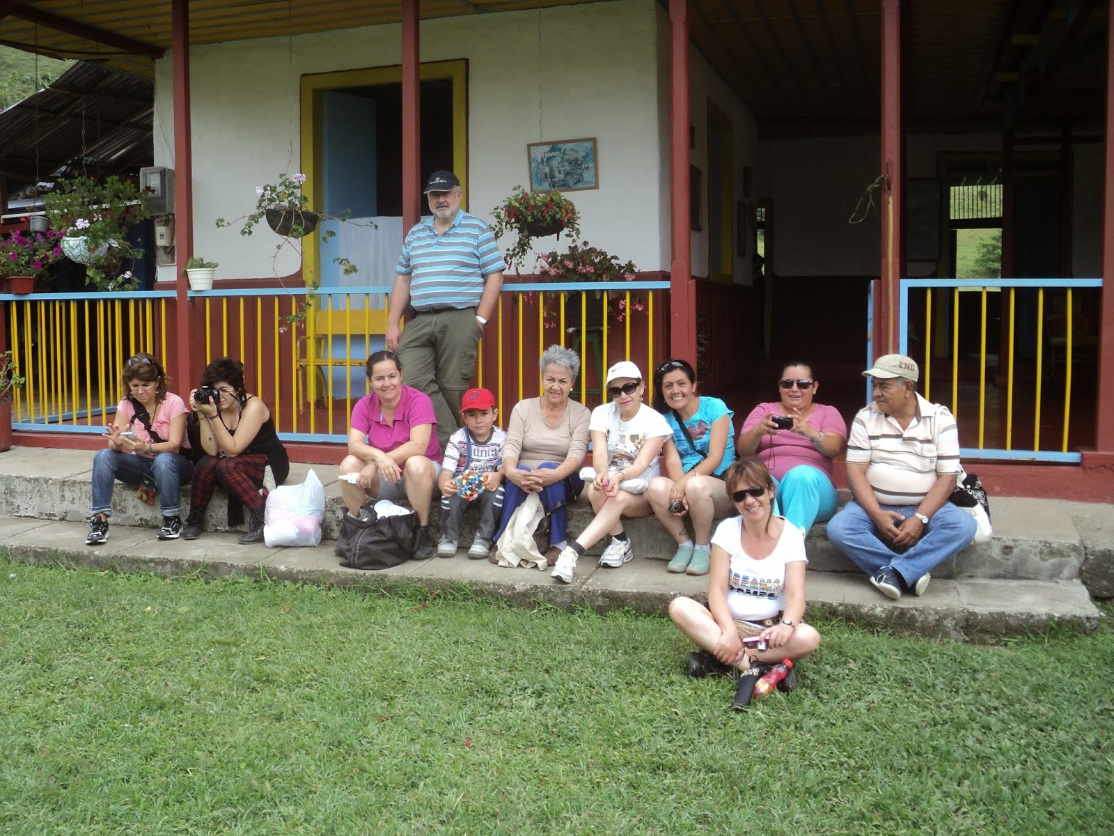
Following the road we must follow indications to the waterfall (signs marked "Cascada"), while we go up following the right bank of the Quindio river. We cross some characteristics coffee fields before entering the Hacienda Santa Rita. We have to enter in the Hacienda and go to the house, in a typical style of the coffee region


There we have to pay a small fee, as the waterfall is in a private property, of two thousand colombian pesos (about one US dollar), and we have an opportunity of enjoying a natural home made coffee, made with "aguapanela", a natural sweetener derived form the sugar cane but different from sugar.

Just close to the house, the pathway continues, entering in a lateral valley and climbing slowly to reach and follow an old (and disappeared) railway. The way is by sections almost covered by the forest, but basically we only have to walk by the ancient railway. In fact the way is erased to such point that I have serious doubts that it has ever worked.

Landscape is changing, fields leave place to tropical forest, and we reach he entrance of a tunnel. The exit of the tunnel seems more a natural cave than a human work, as it is masked by the vegetation and landslides. Mud covers almost all the tunnel, but we can pass by the left side, close to the wall.


Few hundred meters ahead, we have to leave the railway to descend to the river, and to cross to the other side by a basic wooden bridge (two simple trees...). From here change is total: the pathway seem to be eaten by the vegetation, and we enter in the real tropical humid forest.


The noise of the waterfall is more and more evident, and in the moment we start viewing it, we have two options in the pathway: going straight ahead, we have a frontal view of the waterfall, but there in no follow up possibilities. The other option crosses the river by a elemental hanging bridge and allow us to reach the basis of the waterfall.


The waterfall is about 15 meters high, and the amount of water makes a scenic image. The basis of the waterfall is a pool, where we can enjoy a cold water bath. The esthetic image of the forest, with waterfall and the lake justifies the walk.


The way back is basically the same, but we can go through a different tunnel at lower level (and consequently with much more mud) and then climb to the railway.

When passing by the Hacienda Santa Rita, we enjoyed a second coffee with "aguapanela", and say goodbye to this charming colombian area.